I love making maps of where I'm going and where I've been! I made one for Iceland before I set out on my big international trip in 2014. And I recently made one for my visit to Oahu.
Once again, I mapped my road trip around Arizona and Utah. I used Google Maps to first pinpoint fun activities and places I wanted to visit. After I returned, I plotted the actual route I took and places I saw.
I share an interactive map of my AZ-UT trip below. It includes all the activities I did and even some I never had the chance to check out. I even include a day-by-day description of my itinerary this time!
Roadtrip Itinerary - Across the AZ-UT Border
I was traveling with my best friend Erin for the first 3 nights of my road trip. She flew into Flagstaff after my work conference. We headed straight for Page midday on June 29.
DAY 1: Along the way we stopped at a few of The Diné (Navajo) people's jewelry booths. We checked out the view near Bitter Springs. Then we hiked in 105+ degree heat to Horseshoe Bend. We spent the night in Page with an excellent Airbnb host named Aemi. She gave us the inside scoop on a couple of places we checked out, including dinner and entertainment at Into the Grand.
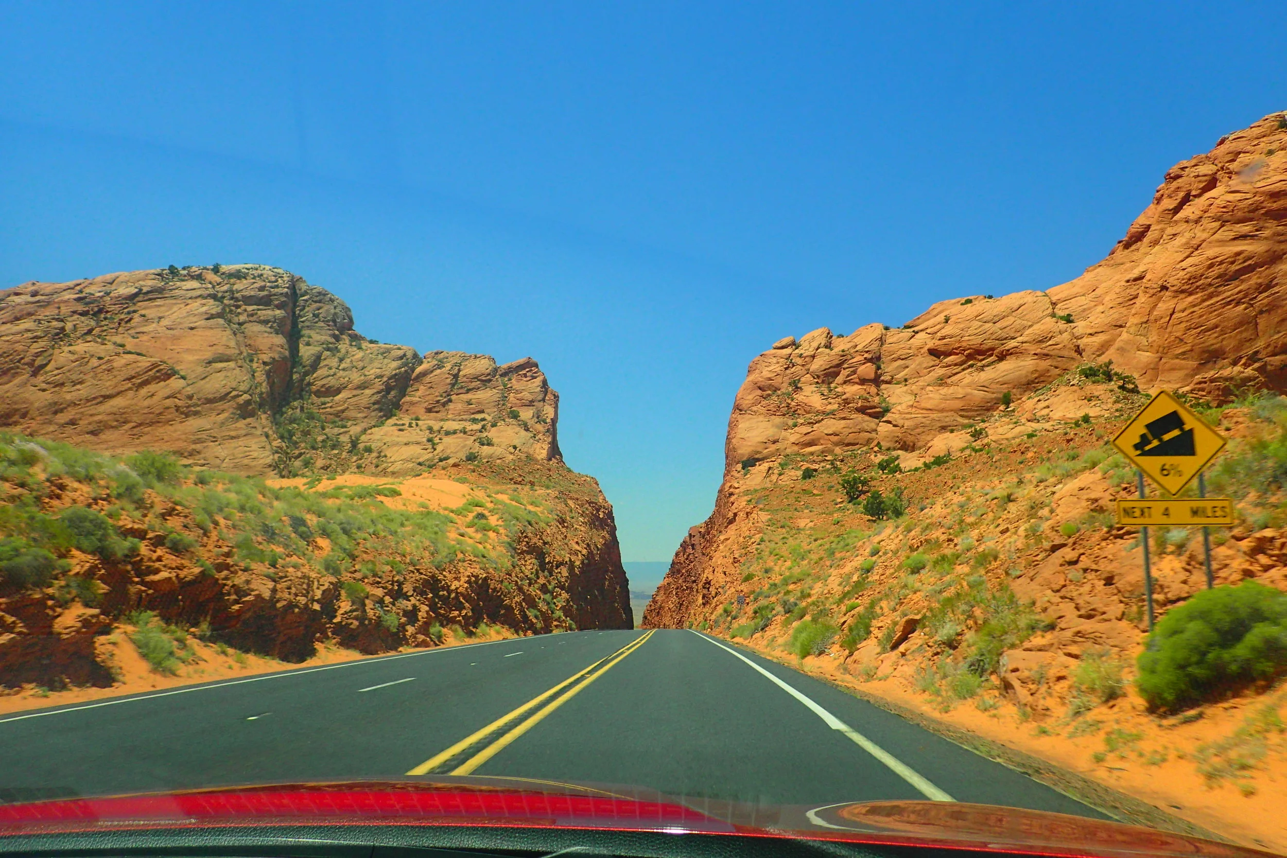
DAY 2: After the 6AM Antelope Canyon tour in the morning, we found our way to The Chains. This was a nice, little, local spot to swim in Lake Powell. After our fill of refreshing lake water, we hit 89A, a scenic highway taking us up to Utah. There were some nice lookout points along the way but not much of serious significance to see.
Hellooooo Utah! Outside of Kenab, UT are the Coral Pink Sand Dunes. They were an interesting sight to see in the middle of an otherwise rocky terrain. We stayed in Kenab at an Airbnb with a raised deck for stargazing.
DAY 3: We hit the road again to Bryce Canyon early the next morning. After a hike there, we managed to get to The Narrows hike all the way in Zion National Park before dark.
DAY 4: Another Airbnb stay in St. George brought us to Erin's last day with me. We met some of her relatives, an adorable Mormon family from up North, for breakfast. We're certainly in Mormon country!
I dropped Erin at the Airport and headed for Kolob Canyon to hike the Taylor Creek Trail. Then I met up with my Couchsurfing hosts in St. George for the night.
DAY 5: I woke early and headed into Zion for a sunrise hike to Angel's Landing. I took a much-needed dip in the Virgin River afterward and then walked along Checkerboard Mesa. I explored a bit of Springdale and Kolob Terrace before settling in with the same hosts for the night.
DAY 6: It was time to make the 5-hour drive back to Flagstaff. I stopped at Navajo Bridge and a few more jewelry booths along the way. But I was trying to make good time to meet my new couchsurf host for July 4th celebrations. We enjoyed some conversation in the afternoon and then a mini-BBQ with his friend in the evening.
DAY 7: I got breakfast with my host in the morning and then shot out of town to Walnut Canyon. For a small fee, I enjoyed a ranger walk and hiked around some pueblos. The ranger told me about some petroglyphs I could see nearby. So I drove across Route 66 to Picture Canyon and hiked to see those.
By then I was feeling quite fulfilled from all the hiking. I drove my rental car back to Flagstaff airport and waited for my flight home.
Don't worry! There's still lots more to tell. In future posts, I will delve much deeper into my trip. And, of course, I'll share tons of photos and video!
Interactive Map of My AZ-UT Roadtrip
Some Data From The Trip
Miles driven: 1,311
Steps stepped: 95,194
Miles hiked: 39.75
"Floors" climbed: 485
Navajo fry bread eaten: 1